 ) will be enabled.
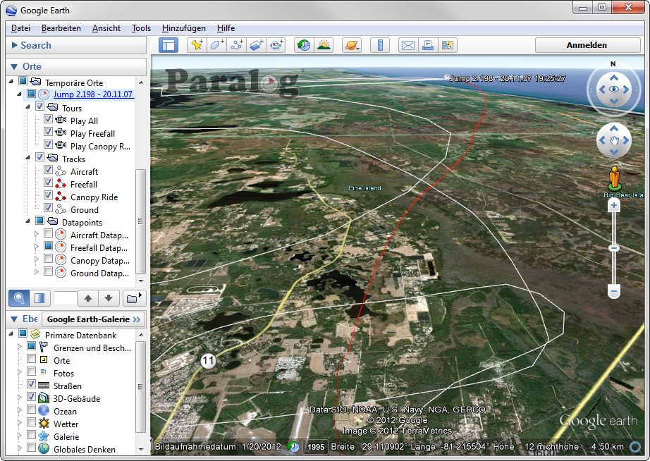
Clicking this button will export the GPS tracks of the currently selected jumps to Google
Earth
 where they can then be viewed
interactively in 3D using all the features of Google Earth: Tilting, panning, zooming, even flying along your flight path!